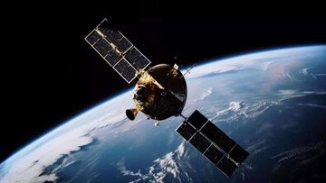
Tata Advanced Systems Ltd (TASL) has established a facility in Bengaluru to manufacture high-resolution imagery satellites for the armed forces. This move is aimed at enhancing surveillance capabilities in border areas – a big bet on the military space sector.
According to reports, the facility will produce sub-metre resolution satellites and will include a ground station for satellite control and image processing. The ground station will be capable of directing their movement and processing imagery, necessary for the armed forces to oversee infrastructure or acquire military targets. This development comes after the defence ministry challenged Indian industry to create satellites with metre and sub-metre resolution for military purposes.
The manufacturing facility, built in partnership with Satellogic, a Latin American company specialising in earth observation satellites, will have the capacity to produce up to 24 low earth orbit (LEO) satellites annually. The first Indian-made satellite, with a spatial resolution of 0.5 metres, is expected to be ready for launch within six months. The images will be delivered with a spatial resolution of 0.5 metres.
TASL CEO and MD Sukaran Singh emphasised the need for high-resolution imagery satellites in Indian defence applications. This initiative is a significant step towards building indigenous capabilities in this field, he said. TASL will capitalise on its partnership with Satellogic to leverage their expertise and experience.
Currently, the armed forces rely on satellite imagery from the Indian Space Research Organisation (ISRO) and obtain commercial images from foreign companies when required. However, the need for increased surveillance of extended border areas has prompted the armed forces to explore additional options. The establishment of a ground station within India will enhance operational security and enable the acquisition of images in areas of interest. The procurement of imagery from foreign entities has gone up particularly following recent events along the Line of Actual Control (LAC) with China.
In these scenarios, the coordinates of the monitored area must be shared with foreign entities to obtain the required images. Establishing a ground station within India would enhance the security of operations, particularly in areas of interest requiring target acquisition.


